
Hydrological Information & Forecasting Model (HIFM)
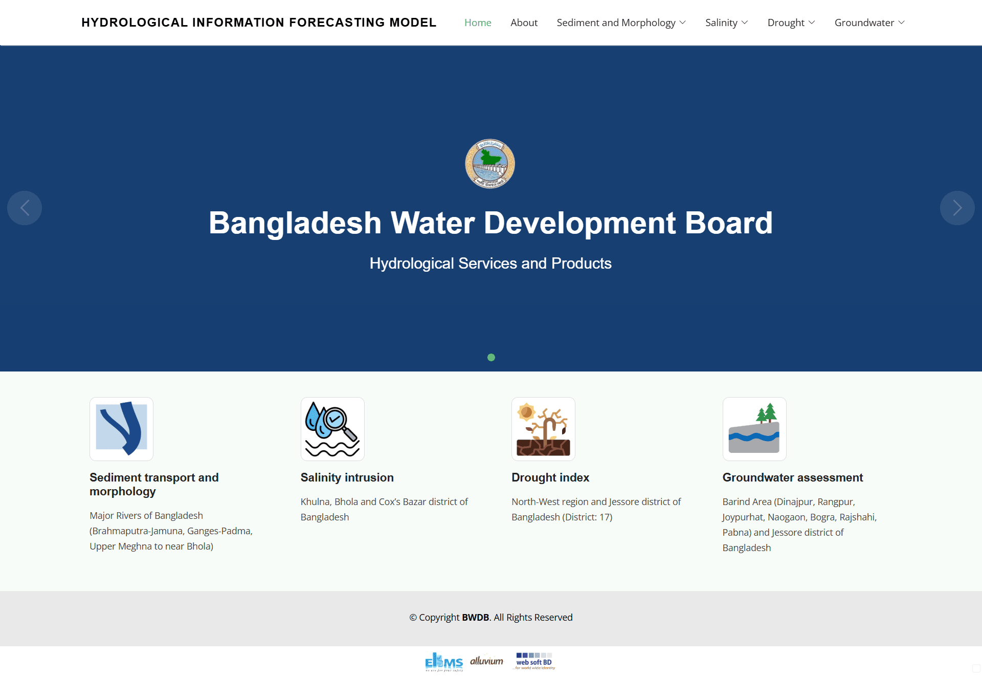
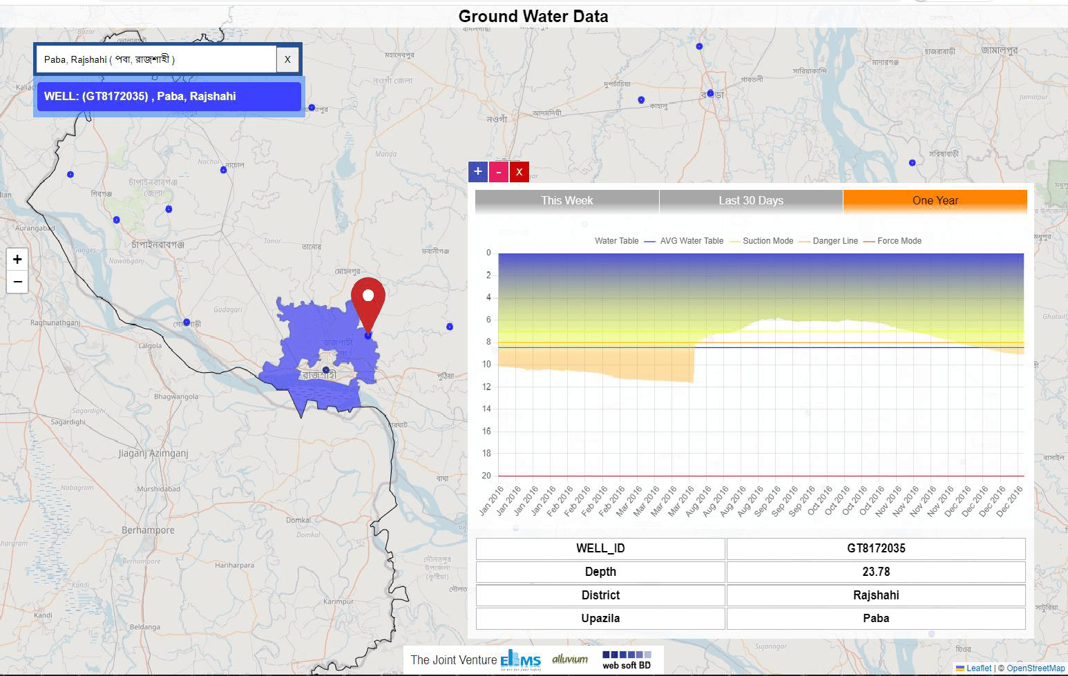
A hydrological services platform developed for BWDB (as EIMS–Alluvium–Web Soft BD JV) covering sediment prediction and riverbank erosion, hydrological drought prediction, salinity intrusion forecast, groundwater outlook and surface-water supply outlook, with an upgraded website displaying real-time data, products and warnings and an integrated GIS solution. Funded by IDA / World Bank under the Ministry of Water Resources.
Hydrological data — sediment, salinity, drought indicators, groundwater — was fragmented, making timely, unified early-warning information difficult to produce.
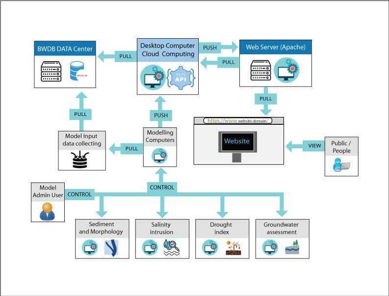
Built an integrated platform with real-time visualisation and GIS, consolidating multiple hydrological services into one system for operational and early-warning use.
Consolidated multiple hydrological services into a single real-time platform
Supports operational decisions and disaster preparedness
Delivered as a joint venture under IDA / World Bank funding
Consolidated multiple hydrological services into a single real-time platform
Supports operational decisions and disaster preparedness
Delivered as a joint venture under IDA / World Bank funding
Work & Engagements
Delivered, upgraded & maintained over multiple contracts
A record of the successive engagements we delivered for this client — with live links.
Hydrological services products — sediment prediction & riverbank erosion, hydrological drought, salinity intrusion and groundwater outlook, with an integrated GIS solution
Consolidated flood, drought, salinity and groundwater services into one real-time, GIS-enabled early-warning platform.
Project Gallery
Ready to Build Something Great?
Let's discuss how we can help transform your ideas into reality.